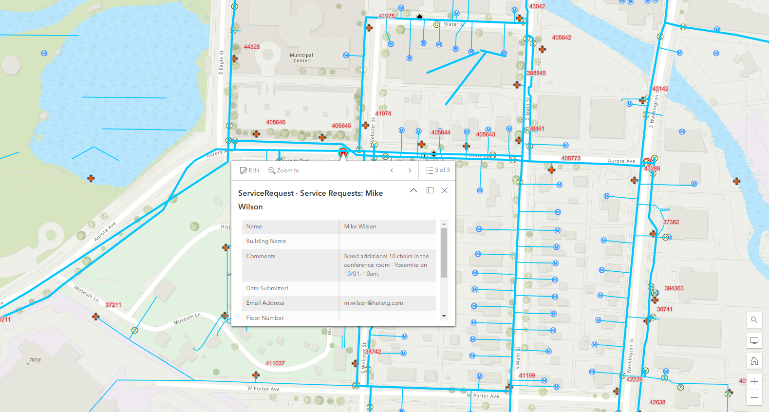
Due to many changes in different versions, the documentation provided by IBM for Maximo Spatial integration is scattered and inconsistent. This video is a quick demo on how to carry out the most basic configuration to enable integration between Maximo Spatial version 7.6 and ArcGIS.
In the video, what we have is a sample non-secured ArcGIS online server, made publicly available by ESRI. However, enterprise GIS map services are often provided via an SSL layer and can use token-based authentication. Thus, below are some of the common problems that you can have when configuring Map Manager with a secured map services:
- If HTTPS is used, the SSL Certificate must be added to WebSphere trust store for Maximo to be able to send requests to the GIS server. If you don’t add the Certificate, when trying to add Map Service in Map Manager, it will give you a ‘BMXAA4199E – The remote object of the server cannot be accessed. A network error has occurred…’. You can follow the steps in this link to add the certificate. After that remember to restart the WebSphere for the change to take effect
- If Map Server uses Token-based authentication, it doesn’t work with HTTP. Thus, you must use HTTPS, otherwise, it will give you a confusing error: ‘BMXAS0467E – Token is required to access this Map Service. Enable token security for this Map Manager’. Some old IBM sources mention that you have to add the ‘tokenEnabled’ and some other properties to System Properties. With Maximo Spatial 7.6.0.1 or newer, it is not required as you can tick the check box and enter username and password directly in the Map Manager app.
- If you have a strange java.lang.ArrayIndexOutOfBoundsException when trying to add Map Service with HTTPS, it is because WebSphere is using TLSv1 and doesn’t support 2048DH key. Follow the steps in this link to change SSL protocol to TLSv1.2 or v2.
- If your GIS provider uses self-signed certificate instead of a certificate issued by a Certificate Authority, users may get a blank screen when opening the Map tab. It is because the browser doesn’t trust the source (GIS service) and blocks it from loading. To work around this issue, try to open the GIS Map service directly on the browser, it will ask if you like to add the untrusted certificate to your exception list. After that, the map will be able to load in Maximo. The best solution is to use an SSL certificate provided by a Certificate Authority. In this case, Maximo users don’t have to worry about adding exceptions to the browsers. You can also enable the “Use Proxy” flag in Map Manager to address this issue.
If you have any other problems with the map control and integration, the first step would be to see the SystemOut.log file and the logs displayed in the ‘Developer Console’ of the browser. Most of the time it will give you some extra information to identify the cause of the problem.
I hope this helps.


Hi viet , i tried to follow steps to add GIS provided certificate in WebSphere and use token based authentication but still getting error "
BMXAA4199E – The remote object of the server cannot be accessed. A network error has occured. Contact the network administrator to correct the network error and restart the server.
Server returned HTTP response code: 403 for URL: https://XXXXX.com/arcgis/rest/services/MAXIMO/MAXIMO/MapServer More information
Can you open the same link from a browser on Maximo server?
I am new to Maximo and trying to learn it. Could you please load a torrent of Maxi mo and /or virtual machine.
– Anil, Email npc3927031@gmail.com
It was fixed with adding certificate on WAS and also some configuration to bypass token on GIS server. Thanks
Hi Viet, Is there a way to click on one widget automatically when the map gets loaded in Map tab?
Hi Viet, I am new to Maximo and trying to learn it. Could you please load a torrent of Maximo to installing file version. I would like to say hi to you, Im from Viet Nam with love
Replace https with http only